
Calculating Howler Monkey troop position based on position bearing and distance
Using simple geometry and python to calculate troop position based on coordinates, bearing and distance in a csv file
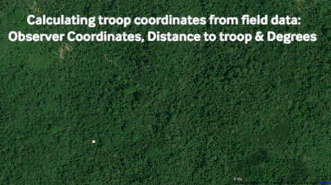
One of my first tasks at Ceiba was to work with the data collected by many interns about the Howler Monkey troops regarding the troops gps location, number of individuals, adults/juveniles, males/females and the troops’ behavior. The data had been collected over many months from different interns with most of it being in csv format. The problem was that the data was taken by observers with the observers’ gps coordinates, bearing and distance measurements to the Howler monkey troop.
When I arrived at Ceiba they were calculating the troop positions by hand, entry by entry, using trigonometry to find the true monkey troop positions. I was able to write a python script that opened up the csv file, then requests the user to identify what columns in the spreadsheet represent latitude, longitude, bearing and distance. A new csv file was generated with proper gps locations of the actual Howler Monkey troop included.
You can check out the script here.