My mission is to clarify the realities of the climate crisis and develop a comprehensive strategy for conserving the world's most extraordinary natural areas through science, outreach, education, GIS, and remote sensing.
My Projects
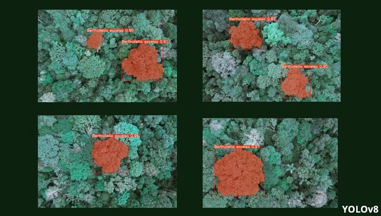
Mapping Brazil Nut Trees in the Amazon: How Drones and AI are Changing Conservation
In this post, I'll take you through my journey of using drones and machine learning—specifically, the YOLOv8 object detection and segmentation models to map Brazil nut trees from the air.
Using 3D models in ArcGIS Pro to visualize buildings susceptible to sea level rise.
This project uses Esri's ArcGIS Pro to identify Miami Beach buildings at risk of sea level rise, estimating potential inundation years (2030, 2050, and 2090). By integrating 2D building footprints, height data, and NOAA sea level rise projections, buildings were color-coded by impact year and mapped in an interactive ArcGIS Online tool, aiding proactive planning for rising sea levels.
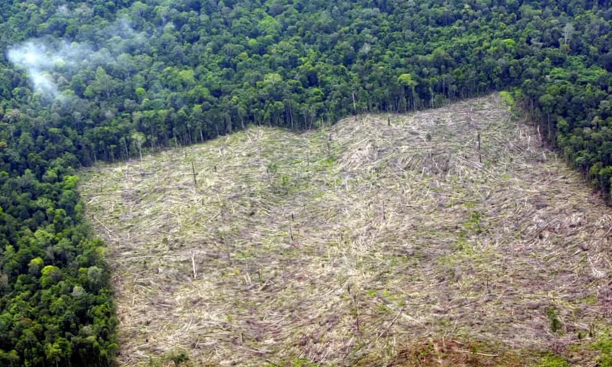
Geomundo: automated detection of deforestation from satellite images
Working with Amazon Conservation and Conservación Amazónica in Lima Peru to create a tool for segmentation of satellite images for detection and monitoring of deforestation, road construction and gold mining operations.
Mapping Howler Monkey populations in rural Ecuador
Working with the Ceiba foundation to map and better understand how the Howler Monkey troops utilize the forest reserve.
Animal mortality on the highways of coastal Ecuador
The Ceiba Foundation has been working on a project to understand the dynamics of animal mortality on the coastal freeways in Ecuador.
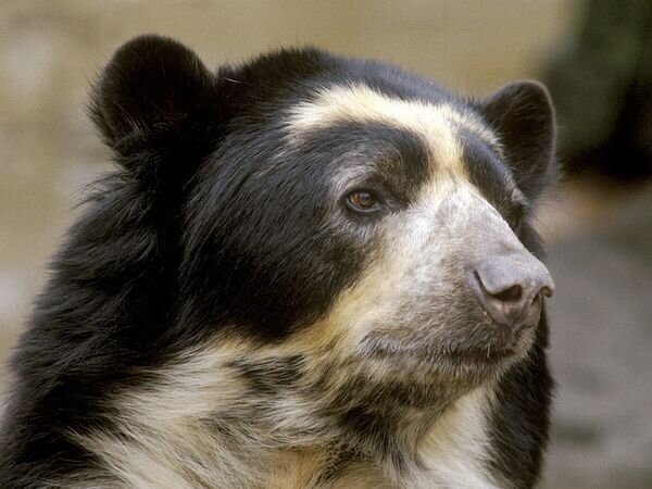
Using MAXENT to model species distribution of Spectacled Bears
Creating a species distribution model for the Spectacled Bear species in South America with Spectacled Bear Conservation.
“If we lose the forest, we lose life.”
NYBG — Feb 2020
Sign up to be the first to here about my next project and keep in contact!

